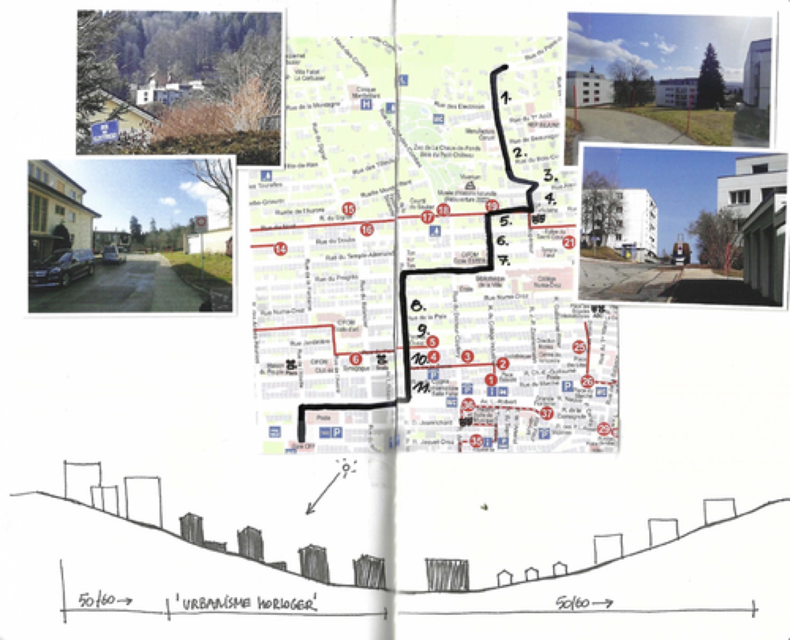
4. Scan : highlighting regularities and exceptions
As expected, the chosen itinerary highlights the repetitive dimension of the urban fabric, but it also reveals an evolution in the configuration of public spaces, as well as certain features which are exceptions to the regularity of the grid.
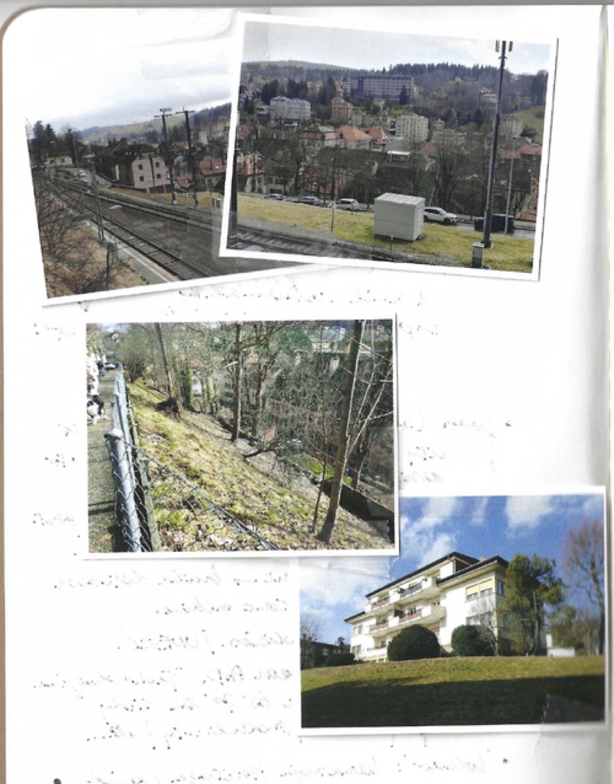
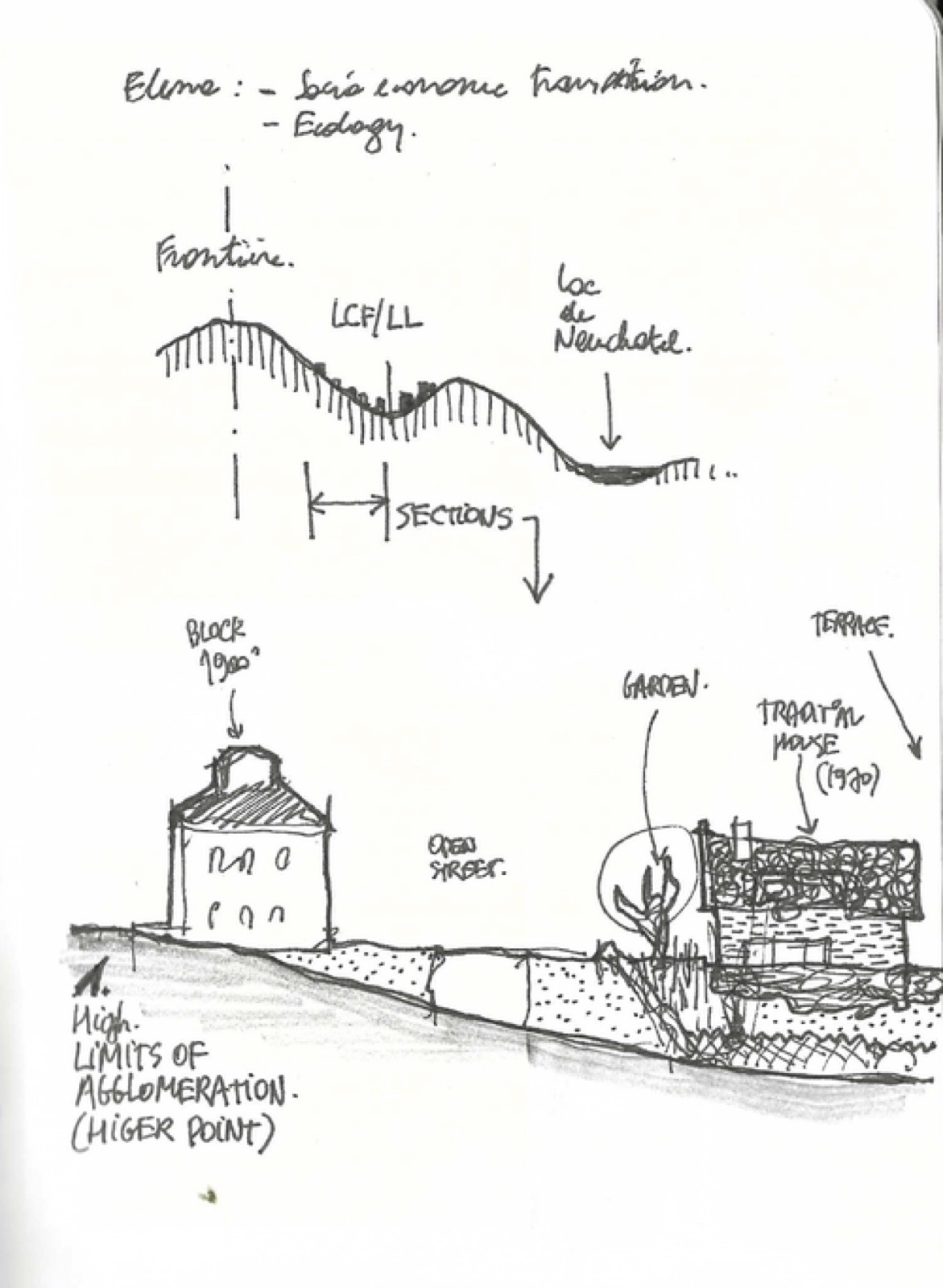
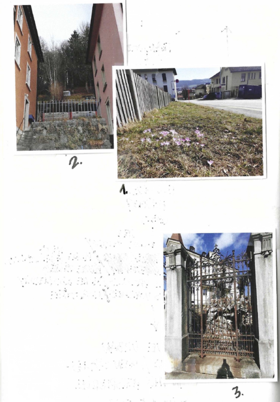
To bring out these elements, I proceeded by sketching, during the tour, a series of cuts systematically made in each of the streets crossed. This method was like a scanning of the urban space, distantly echoing the one presented the evening before by Alessandro Armando and Michele Bonino in their book The story of a section. These street sections, combined with photos of the same places, reveal the evolution of the proportions of public space, the elements that make it up, the distribution of available space between public and private, the presence of vegetation, the (rare) recreational spaces, and certain exceptions in the urban grid.
In these two places, the urban morphology constitutes today a spatial heritage to be questioned in the perspective of a regeneration. I have therefore focused my attention on the urban scale, and more particularly on the configuration of urban spaces, as legacies of an industrial past, and also as places where a possible reading of current modes of living emerges.
A series of rough observations emerge from this reading and representation process. These observations have not, at this stage, been analyzed in depth.
1. As we went up the hill, the vegetation became more present in the public space or in the private spaces located on the southern side of the building blocks. In general, however, vegetation remains scarce within the urban perimeter.
2. The institutional buildings (churches, administrative buildings), which were generally presented in 19th century urban planning as exceptions in the urban fabric, are here included in the grid, without any particular will to highlight them. On the other hand, some new constructions, most of which seem to date from the post-war period, have taken over the open spaces to the south of the bars in various places, subverting one of the major characteristics of the original grid. These new constructions seem to correspond to new needs (nurseries, schools, garages) that the original fabric could not meet.
3. Like the vegetation, public recreational space seems to be largely absent from the urban fabric. This echoes the observations made in Charleroi. Urban space seems to be overdetermined by its economic use (logistical efficiency, transport, limited maintenance) to the detriment of recreational aspects. This reinforces the argument that urban planning is characterized by its industrial vocation, rather than other possible uses: leisure, meeting spaces, wandering.
4. In some places, natural landscape elements pre-existing the city (emerging rocks) or compositions evoking these natural elements in private gardens can be observed. Similarly, some residual, untended spaces are home to wild vegetation in certain parts of the urban space.
5. In general, and for the reasons already mentioned above, the public spaces reveal an oversizing of the logistical and technical uses (asphalt roads) with regard to the minimum space needed. There is therefore great potential for a reshaping that could introduce additional biodiversity and recreational uses into the urban fabric